
Members save 10% or more on over 100,000 hotels worldwide when you’re signed in
Fuerteventura: The BIGGEST PANORAMIC island Tour. ALL highlights!
10/10
10 out of 10Features
- Free cancellation available
- 7h
- Mobile voucher
- Instant confirmation
- Selective hotel pickup
- Multiple languages
Overview
The tour is designed so that you will simply have a lovely day on an incredibly beautiful sunny island with a very experienced local funny guide.
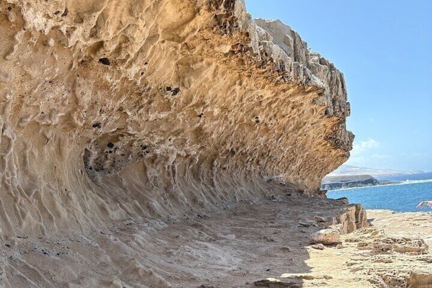
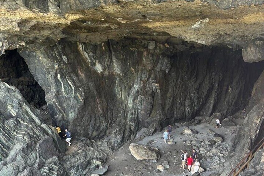
We will discover with max. 8 travellers in about 7 hours the most important points of the island, the oldest historical capital Betancuria, the natural caves and limestones in Ajuy, Barrancos, stunning views from + 700 metre high, at the North South West, typical Canarian villages.
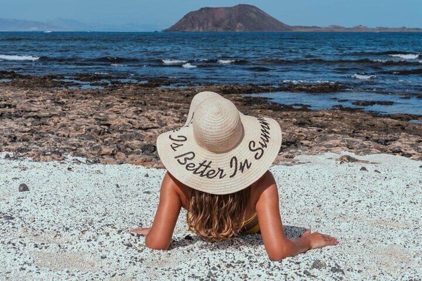
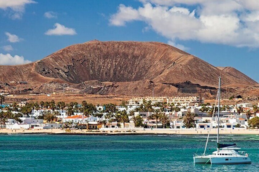
We have photos stops at stunning viewpoints in the mountains, volcanoes, lava areas and on black & white natural beaches in the North & West & South…
Of course also a lunch stop for the hungry and thirsty in a typical Canarian restaurant!
To put it briefly: We will have amazing sceneries, beautiful landscapes as we drive past the highest mountains, lava mountains/areas and incredible large Shield volcanoes.
Activity location
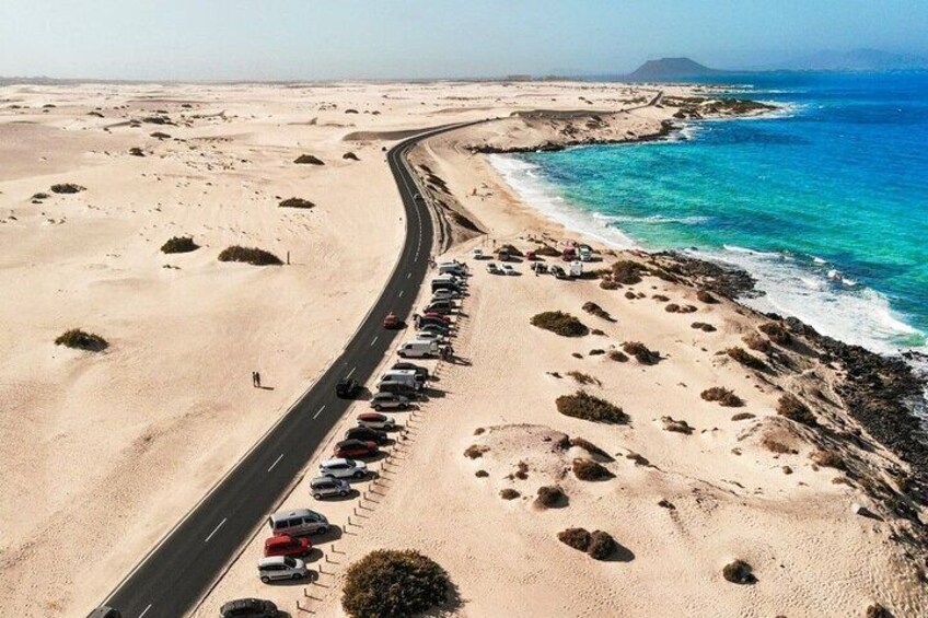
- Parque Natural de Corralejo
- Corralejo, Spain
Meeting/Redemption Point
- Parque Natural de Corralejo
- Corralejo, Spain
Check availability
Fuerteventura: The BIGGEST PANORAMIC island Tour. ALL highlights!
- 7h
- English
Pickup included
What's included, what's not
- Cruise ship pick ups included
- Free pickups from caleta de Fuste - Puerto del Rosario - Corralejo.
- There is a stop for hungry and thirsty among us.
- Church Santa Maria (2€ ticket)
Know before you book
- Service animals allowed
- Public transport options are available nearby
- Not recommended for travellers with poor cardiovascular health
- Suitable for all physical fitness levels
- Take with you water, camera, and max. 1 little backpack
Activity itinerary
Parque Natural de Corralejo
- 5m
Playa Ajuy
- 45m
- Admission ticket included
Iglesia Catedral de Santa Maria de Betancuria
- 10m
- Admission ticket not included
Betancuria
- 30m
Mirador de las Penitas
- 10m
- Admission ticket included
Vega de Rio Palmas
- 45m
Mirador Guise y Ayose
- 10m
- Admission ticket included
Mirador De Vallebron
- 10m
Mirador Morro Velosa
- 5m
Ermita de la Pena Trail
- 10m
- Admission ticket included
Mirador Sicasumbre
- 15m
- Admission ticket included
Molinos de Villaverde (Pass by)
Calderon Hondo (Pass by)
Volcanes de Bayuyo (Pass by)
Tuineje (Pass by)
Gran Tarajal (Pass by)
La Oliva (Pass by)
Montana de Tindaya (Pass by)
Location
Activity location
- Parque Natural de Corralejo
- Corralejo, Spain
Meeting/Redemption Point
- Parque Natural de Corralejo
- Corralejo, Spain