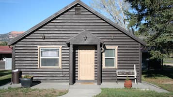
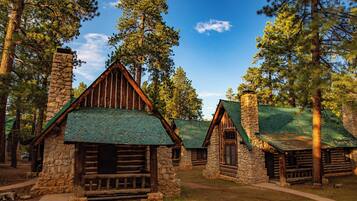
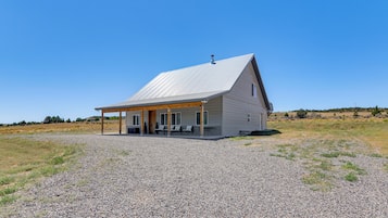
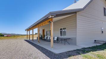
Things to do near Alton
Shopping
In Alton, you can find quaint local shops offering unique gifts and souvenirs. If you're up for a drive, visit nearby St. George, where shopping centres like Red Cliffs Mall feature a variety of stores, from fashion to home goods, providing more options for your souvenirs.
Recreation
Alton Yoga Studio offers calming classes set in a tranquil environment, ideal for relaxation and mindfulness. For outdoor enthusiasts, the nearby Dixie National Forest provides stunning hiking trails, where you can enjoy the beauty of nature and engage in invigorating activities amidst the scenic landscapes.
Adventure
At Thunder Mountain Motorsports, located 43.5km from Alton, thrill-seekers can experience exhilarating motor racing amidst a vibrant atmosphere. Feel the adrenaline rush as you navigate challenging tracks, making it an ideal destination for those looking to indulge in high-speed adventures and sports excitement.
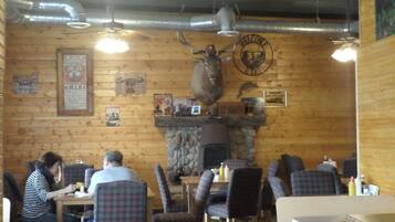
Nightlife
Experience the relaxed vibe at the Alton Tavern, where you can enjoy a selection of local brews and engage in friendly conversation. For a lively atmosphere, visit the nearby Alton Dance Hall, featuring local bands and a chance to dance the night away.
*Distances are measured in a straight line; actual driving distances may vary depending on the route.


 Calendar Month
 Temperature
 Precipitation
 Cloudiness
 Occupancy
 Pricing
